DTM Models
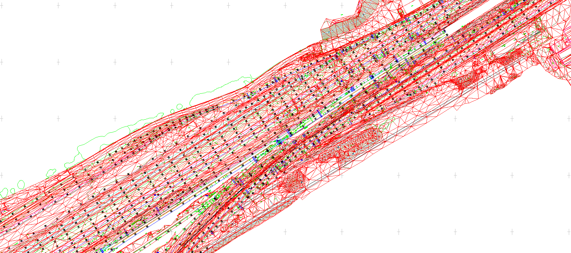
Utilising our specialist software we can produce DTM and TIN models from our survey data. This could be field data collected by our traditional survey instruments (total stations & GPS), point cloud data collected by our terrestrial scanners or airborne photography and LIDAR.
It is possible to provide contour models at any required interval and all models can be exported as TIN networks, wireframe or surfaced.