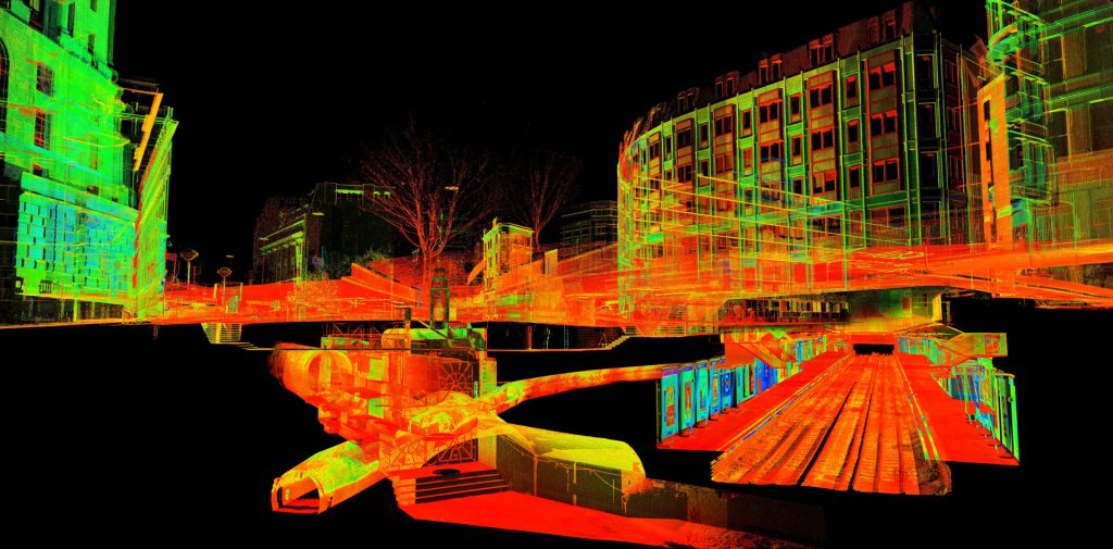
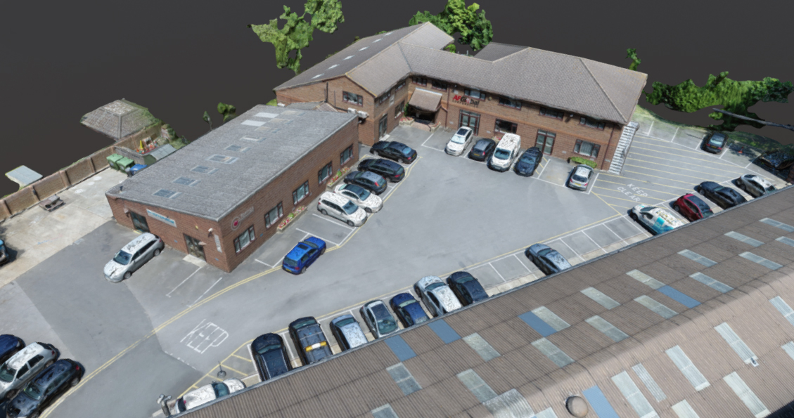
Point Cloud Data
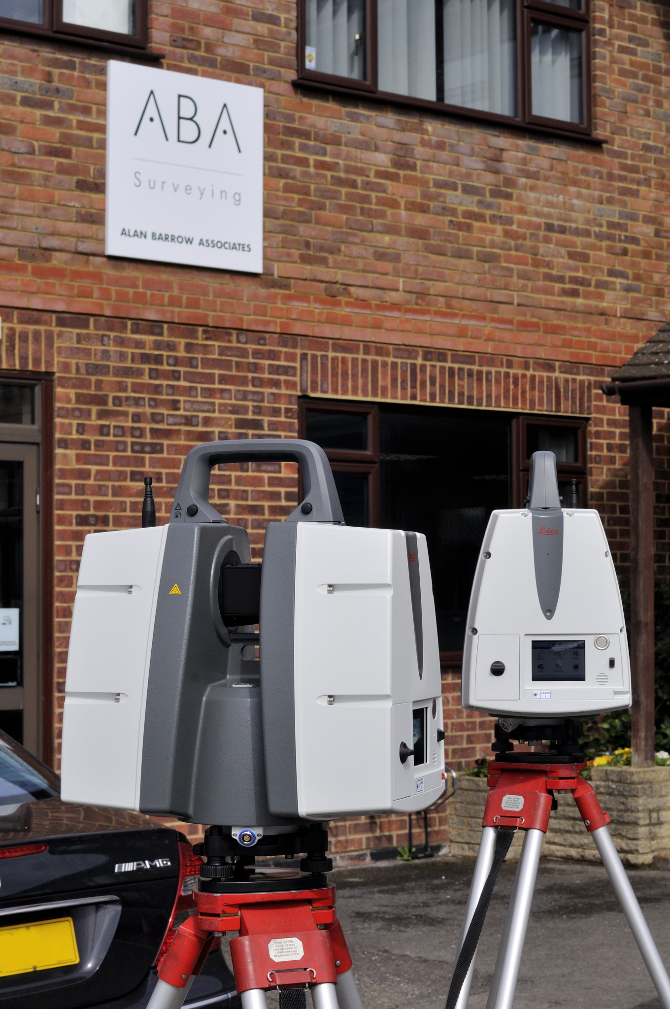
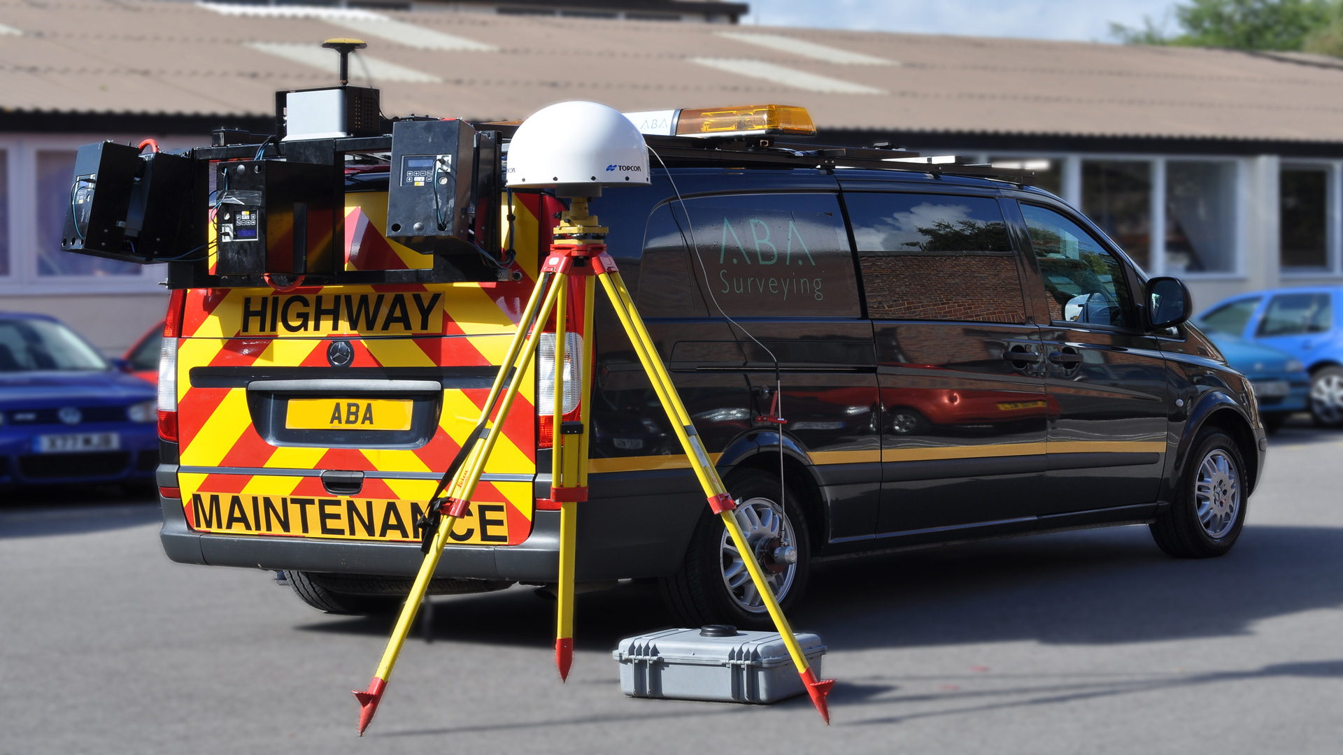
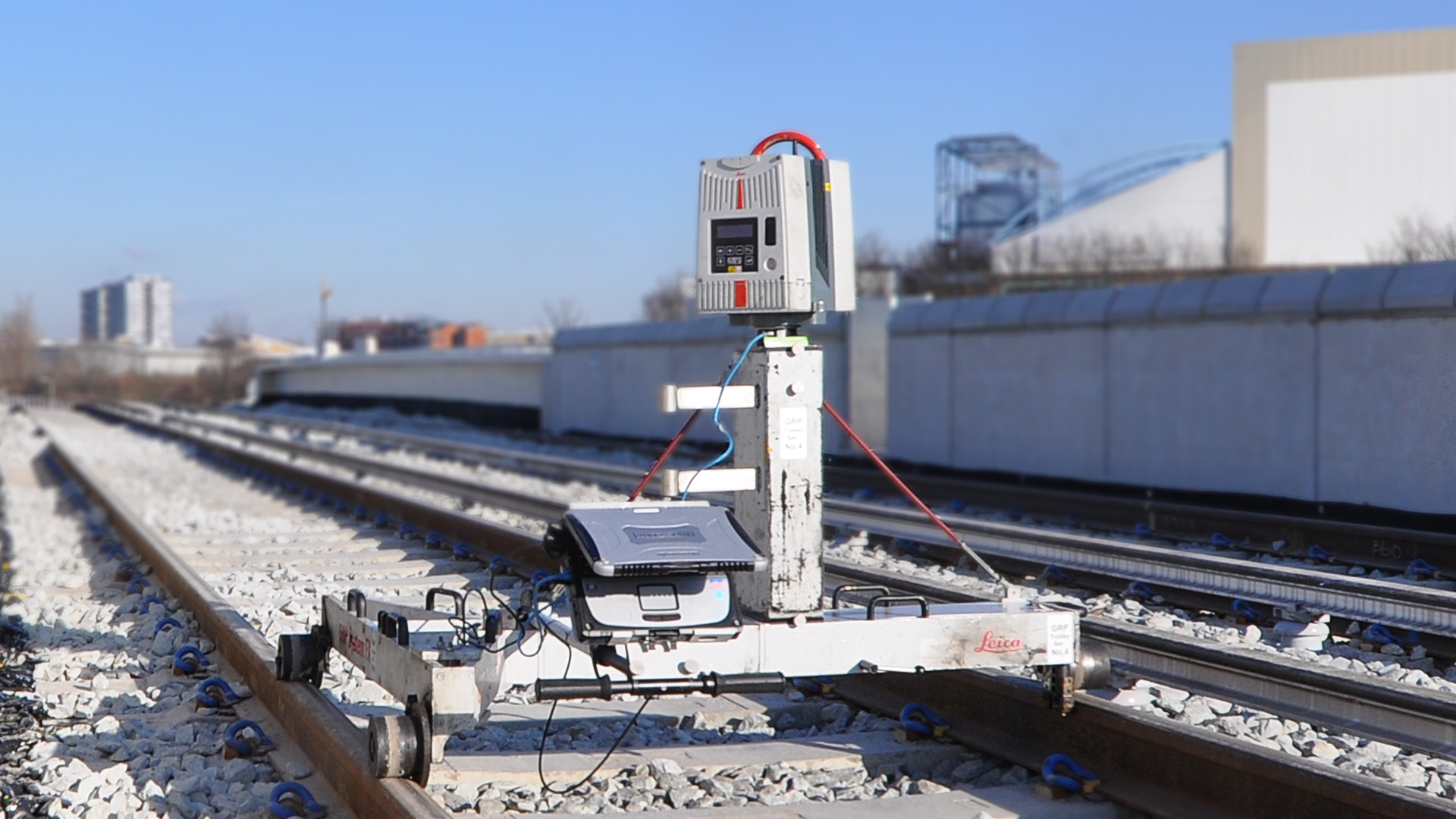
We can provide point cloud data from the Leica P40 laser scanners that we use out on site. This could be a 3D point cloud from our static scanners or from our own mobile mapping solution. We can also generate point clouds from our kinematic scan data collected by our GRP5000 rail trolleys or provide the data in its raw helical format.
We also provide point clouds from airborne LIDAR and UAV.
Scans can be colour mapped by intensity or textured by colour photography if required.
Point clouds can be supplied in Cyclone IMP, POD, LAS, PTS, RCS, E57 and most other formats.